Condition data by using road surface monitoring (RSM) to support decision-making processes
We have been collecting condition data on the paved road network for the Finnish Transport Infrastructure Agency since 2008. The study results provide important information on the condition of the paved roads to support their improvement and maintenance and the related decision-making processes. Road and street network are valuable infrastructure which is worn down by intensive use of traffic and has a major impact on the safety of road users.
We have signed contracts on producing condition data on two separate measurement areas. The measurement area 1 covers the measurements in the traffic and infrastructure areas of the ELY Centres for Uusimaa, South-East Finland, North Savo, Central Finland, Northern Ostrobothnia and Lapland in 2021–2022. The measurement area 2 covers the measurements in Southwest Finland, Pirkanmaa and Southern Ostrobothnia in 2021–2024.
The Finnish Transport Infrastructure Agency uses the data measured by us for strategic analyses, analysis and forecasting of the condition of the road network and thereby for planning and budgeting future actions.
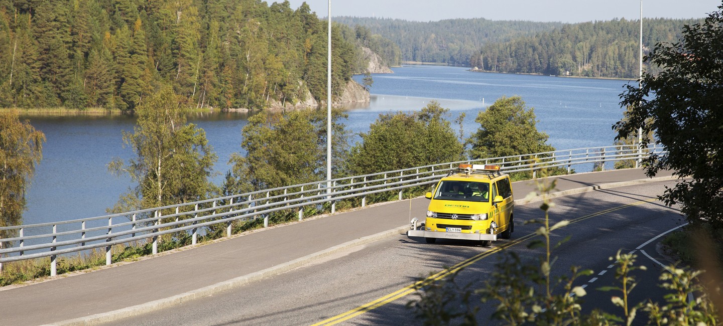
In RMS-measurements we produce 3D profile of the road surface by using laser technology. It can be used to calculate the key figures describing the properties or condition of the road surface desired by the customer. The most used key figures include longitudinal (driving comfort) and transverse unevenness (rut depths) of the road and the texture of the pavement surface. In addition, the measuring vehicles are equipped with modern laser scanners, which we can use to produce point cloud data on both the road surface and the road environment.
We are also carrying out similar measurements of paved road network for the Swedish Transport Agency (Trafikverket).